Soil
Use USDA NRCS Web Soil Survey to review the actual Alto-area parcel before deciding on access, clearing methods, driveway base, pads, or drainage. Mapped soil data is planning information and should be checked against site conditions.
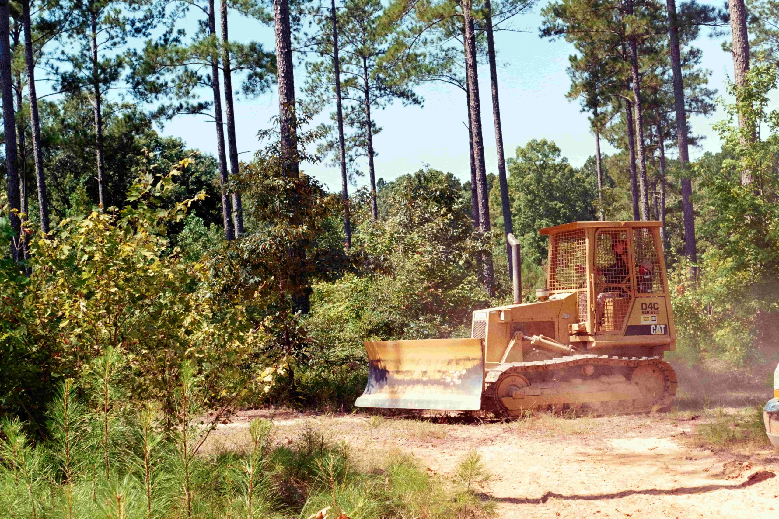
Cherokee County, Texas
Alto owners can plan clearing, drainage, construction, remodeling, and repairs. Request a written estimate.
Request a Written EstimateAlto properties can combine wooded cover, rural access, and the practical drainage questions that come before a driveway, pad, clearing, or home improvement. Republic begins with the site and a written scope so the work sequence fits the property. The local page is not a substitute for a city, county, floodplain, septic, survey, or engineering decision; it is a planning guide for the questions that should be resolved before equipment is scheduled.
For clearing and forestry mulching, Republic works from a $2,000 day rate with mobilization included within the service area, then provides a fixed written price after a free site visit. Light brush can work out to about $700–$1,000 per acre, medium growth about $2,000 per acre, and dense thicket about $4,000–$6,000 per acre. Pads, driveways, culverts, ponds, drainage, construction, and repair work are separately scoped because the property conditions and quantities control the price.
The City of Alto publishes a buildings-and-construction chapter, a zoning map, and additional municipal ordinances. Before work inside the city, verify the current permit, zoning, utility, driveway, inspection, and code requirements with City Hall. A property outside city limits can fall under different Cherokee County or subdivision requirements, so the first question is the exact parcel location and authority that governs it.
The project scope should not promise an approval that belongs to a public authority. Republic can help identify the practical order of clearing, access, drainage, pads, and construction, but City Hall, Cherokee County, a utility, a surveyor, an engineer, or an inspector makes the official decision. Owners should retain copies of any approvals, drawings, or site information that affect the work boundary.
Use the USDA NRCS Web Soil Survey for early parcel screening, then confirm actual conditions on the ground. Soil maps help frame questions about access, driveway base, pad material, wet areas, and drainage, but they do not replace a geotechnical evaluation, site-specific design, or an on-site septic evaluation where one is needed. The exact spot chosen for a home, shop, pond, or driveway can matter more than a broad area description.
FEMA flood mapping is the official starting point for flood-hazard screening, but a map check is not a drainage design or a guarantee that water cannot reach the property. Identify swales, culverts, creeks, low crossings, and runoff routes before clearing or changing grade. If an on-site sewage facility is planned, the local permitting authority and qualified evaluator should confirm the required process before equipment changes the proposed field area.
Send the property location, acreage, photos, planned use, access details, known utilities, and any protected trees or structures. Republic reviews the visible vegetation, access, grade, and drainage questions and identifies whether forestry mulching, clearing, dirt work, construction, or a combination is the practical first step. The written scope then identifies the work limit, method, debris handling, assumptions, and exclusions.
If a project includes a driveway, pad, culvert, pond, or construction footprint, complete the approval and design questions before moving material. Texas 811 should be contacted before excavation. After work, the owner and crew review the completed scope and discuss the next maintenance or construction step. This protects the property from repeat mobilization and keeps one phase from undoing the next.
The clearing image below is a documented Republic gallery project in Cherokee County. It demonstrates a category of work relevant to the Alto service area, but it is not labeled as an Alto job because the project record does not establish that city location. That distinction matters: a photo should show real work without turning a nearby county example into a false local claim.
Republic uses verifiable reviews and does not manufacture an Alto customer quote, star rating, job size, or result. Ask for the current review link or for a reference that can be shared for a comparable project. A documented scope and an honest discussion of the property are more useful than anonymous praise attached to the wrong location.
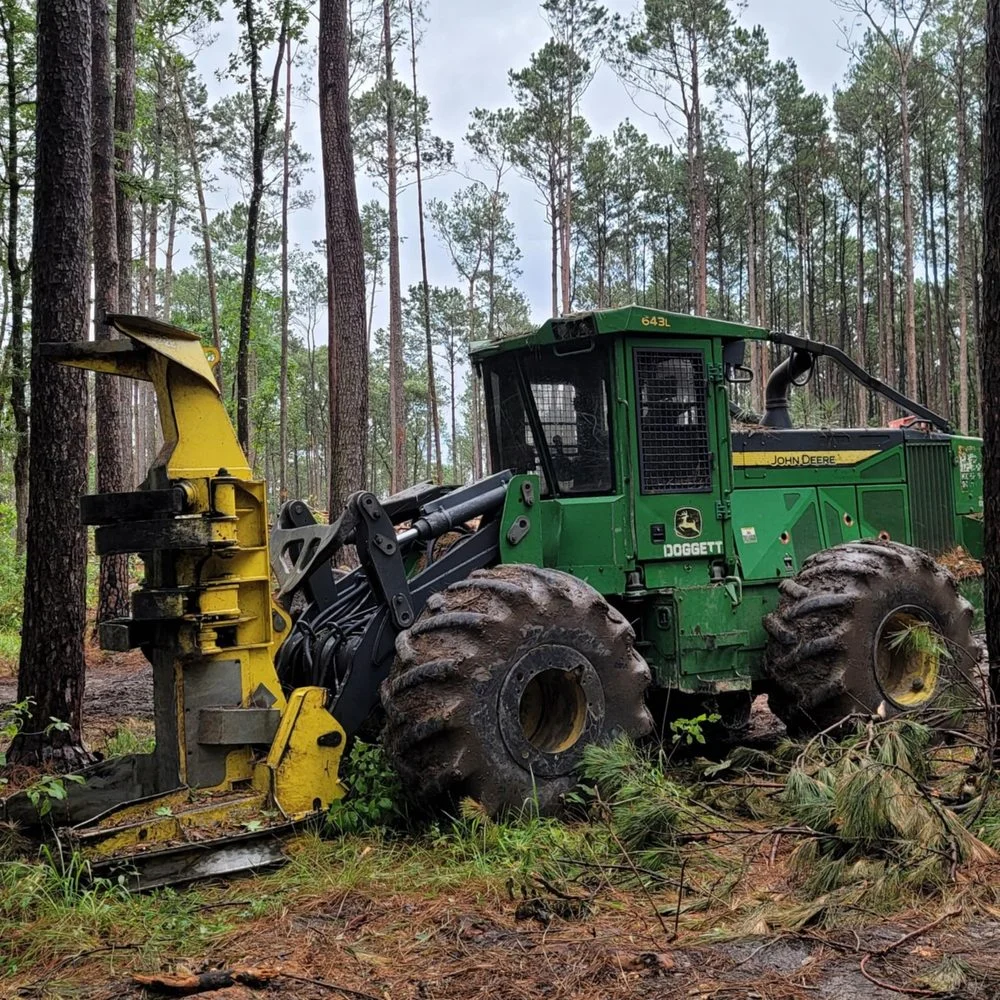
The gallery caption identifies only what has been documented. A representative image is never described as a job in a city unless the project record supports that location.
Use USDA NRCS Web Soil Survey to review the actual Alto-area parcel before deciding on access, clearing methods, driveway base, pads, or drainage. Mapped soil data is planning information and should be checked against site conditions.
Screen the property in FEMA’s Flood Map Service Center before clearing, grading, fill placement, or culvert work. Confirm existing flow paths on the ground so runoff is not directed toward structures or neighboring property.
The City of Alto publishes building-and-construction ordinances and a zoning map. Verify current permit, zoning, utility, driveway, and floodplain requirements with the City of Alto or Cherokee County before work begins.
Verify current requirements and parcel-specific conditions with the authority having jurisdiction and qualified project professionals.
Republic uses a $2,000 daily basis for clearing and forestry mulching with mobilization included in the service area, then issues a fixed written quote after the Alto-area property visit. Light brush can work out to about $700–$1,000 per acre, medium growth about $2,000, and dense thicket about $4,000–$6,000. Dirt work, construction, permits, engineering, survey, testing, materials, and concealed conditions are included only when stated in the written scope.
Republic serves Alto and Cherokee County along with Smith, Rusk, Anderson, Nacogdoches, Angelina, and Houston counties. Confirm the address, access, and project type when requesting an estimate because availability and scope can vary by property.
Reviews are shown only when they can be traced to the original reviewer or review platform. Republic does not turn a general East Texas review into a review for a particular town, acreage, or service that was not documented. Ask the team for the current review link or for a project reference that can be shared for your type of work.
Requirements depend on the exact work and whether the property is inside Alto city limits or elsewhere in Cherokee County. City of Alto ordinances and zoning resources are a starting point; confirm the current scope directly with the applicable authority before work starts.
Start with the exact parcel in FEMA’s Flood Map Service Center and then review visible flow paths, culverts, creeks, and low areas on site. A map screen is not a drainage design or engineering determination.
No. USDA soil data is useful early planning information, but a building pad, foundation, driveway, pond, or septic system can require parcel-specific investigation, design, or an on-site evaluation.
Vegetation density, tree size, access, wet ground, slopes, selective work, debris handling, stumps, drainage, and the desired finish affect the scope. Republic provides a fixed written price after a free site visit.
Republic does not assign a general review to Alto unless the reviewer and location are documented. Ask for the current review link or for an appropriate comparable reference that can be shared.
Tell us what you are planning. Share the location, work needed, and timing so we can review the site conditions and follow up with a clear written scope.