Soil
Use USDA NRCS Web Soil Survey for a property-specific area of interest before clearing, pad work, driveway design, or drainage planning. Confirm field conditions where wetness, subgrade, fill, or foundation performance affects the scope.
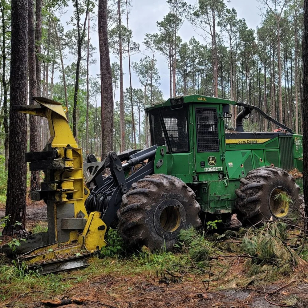
Rusk County, Texas
Henderson property owners can coordinate clearing, site preparation, construction, remodeling, and repairs with Republic. Request a free written estimate.
Request a Written EstimateHenderson projects can range from improving an existing home to preparing a wooded or rolling site in Rusk County. Republic starts with the property address, access, utilities, drainage, and finished use before defining a written scope for land work or construction. The first distinction is jurisdiction: the City of Henderson has its own permitting and zoning process, while an unincorporated Rusk County property can follow a different path.
Republic’s clearing and forestry-mulching planning basis is $2,000 per day with mobilization included within the service area, followed by a fixed written price after a free site visit. Light brush can work out to about $700–$1,000 per acre, medium growth about $2,000 per acre, and dense thicket about $4,000–$6,000 per acre. Dirt work, drainage, pads, driveways, construction, materials, approvals, and technical services are separately scoped for the actual property.
The City of Henderson states that contractors needing a permit must complete contractor registration before submitting an application. Its permit information lists new construction, demolition, structural alterations, decks, pools, remodeling, electrical, plumbing, and mechanical work among the items that can require review. Community Development administers planning, zoning, plan review, and inspections. Confirm the exact scope with the city before work begins inside city limits.
Zoning, setbacks, uses, parking, plats, variances, and other development questions should be checked through Henderson’s current Planning and Zoning resources rather than assumed from a citywide description. The same city rules should not be applied automatically to unincorporated Rusk County. Republic can coordinate the practical work sequence, but approvals remain with the applicable city, county, utility, surveyor, engineer, or inspector.
Use FEMA’s Flood Map Service Center to check the exact property for mapped flood hazards. A property can still experience drainage or heavy-rain issues outside a mapped high-risk area, so the owner and crew should look at on-site grades, swales, culverts, down-slope structures, and routes for runoff before clearing or excavation changes the ground. A flood-map check is not a site drainage design, elevation certificate, or engineering conclusion.
USDA NRCS Web Soil Survey is another useful starting point for an area of interest. It can support questions about soils, but it should not be treated as a foundation, drainage, or excavation design. Pad elevation, material, compaction, pond feasibility, driveway base, and drainage measures depend on field conditions and may need additional qualified review. Planning those questions before equipment arrives helps avoid rework.
A Henderson-area project may need vegetation reduction, site access, a pad, driveway, culvert, drainage, remodeling, or repair. Republic reviews what the next phase needs and separates the work accordingly. A mulched tract is not automatically a construction-ready pad, and a drainage swale is not automatically a permitted floodplain solution. The estimate records the agreed limits, work method, material handling, assumptions, and exclusions.
Before excavation, contact Texas 811 and confirm marked facilities. Identify septic components, water lines, wells, fences, trees to retain, existing structures, and low areas. If the work touches a road right-of-way, water feature, mapped flood area, or regulated utility, verify the responsible authority. After the work is complete, the owner and crew walk the site together and discuss the next construction or maintenance step.
The project-gallery image below documents Republic excavation and laser-guided grading for a custom home pad and driveway. It is presented as a category of work that may be relevant to Henderson, not as a Henderson project; the city location is not assigned where it is not documented. That gives owners a truthful example while preserving the accuracy of the local page.
Republic does not write a Henderson testimonial from an anonymous or general East Texas review. Only feedback that can be traced to its actual source is used. Ask for the current review link or a reference that can be shared for your project type. A clear written scope, appropriate approvals, and a final walkthrough are part of the accountability built into every estimate.
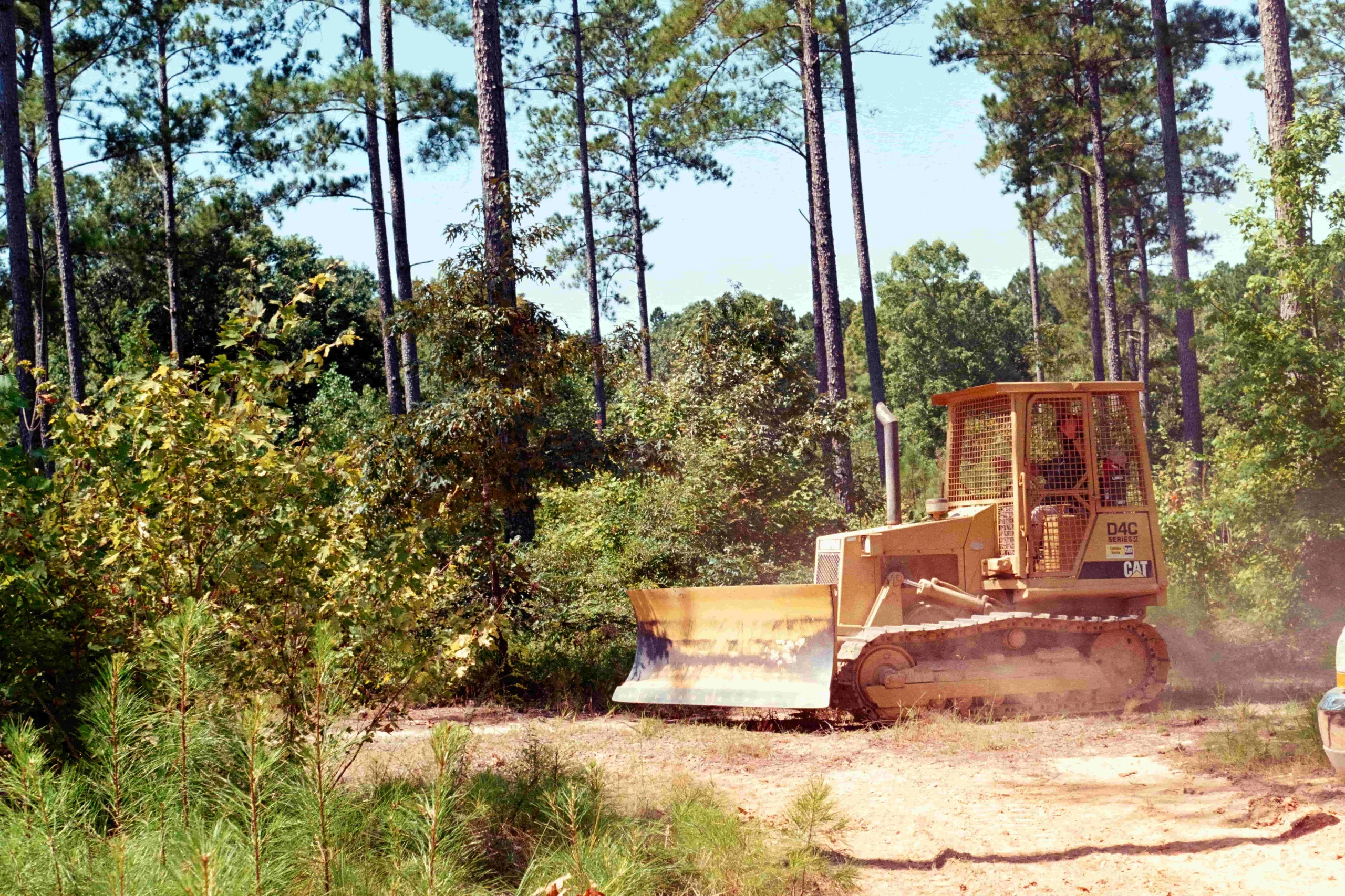
The gallery caption identifies only what has been documented. A representative image is never described as a job in a city unless the project record supports that location.
Use USDA NRCS Web Soil Survey for a property-specific area of interest before clearing, pad work, driveway design, or drainage planning. Confirm field conditions where wetness, subgrade, fill, or foundation performance affects the scope.
Check the parcel in FEMA’s Flood Map Service Center before changing grades, placing fill, building crossings, or altering runoff routes. Actual drainage paths and downstream conditions should be verified on site.
Henderson states that contractors needing a permit must complete contractor registration before submitting an application, and that permits are needed for new construction, demolition, and structural alterations. Verify the current scope with City of Henderson Community Development before work begins.
Verify current requirements and parcel-specific conditions with the authority having jurisdiction and qualified project professionals.
Republic plans clearing and forestry mulching from a $2,000 daily basis with mobilization included within the service area, then gives Henderson-area owners a fixed written quote after the site visit. Light brush can work out to about $700–$1,000 per acre, medium growth about $2,000, and dense thicket about $4,000–$6,000. Dirt work, construction, technical studies, permits, materials, and concealed conditions are included only when stated in the written scope.
Republic serves Henderson and Rusk County along with Cherokee, Smith, Anderson, Nacogdoches, Angelina, and Houston counties. Confirm the specific property, access, and scope when requesting an estimate.
Reviews are shown only when they can be traced to the original reviewer or review platform. Republic does not turn a general East Texas review into a review for a particular town, acreage, or service that was not documented. Ask the team for the current review link or for a project reference that can be shared for your type of work.
The city lists permits for many types of construction, alteration, demolition, and trade work. Confirm the actual scope with Henderson Community Development before work starts inside city limits. Unincorporated Rusk County may have a different approval path.
Start with the property address in FEMA’s Flood Map Service Center, then evaluate visible drainage and site conditions. A map result is a planning input, not a drainage design, floodplain determination, or engineering study.
No. USDA soil information is useful for early screening, but pad, driveway, pond, drainage, and foundation decisions depend on actual field conditions and may need a qualified evaluation.
The work type, vegetation density, tree size, access, grade, wet conditions, material quantities, utilities, drainage, selective work, and required finish control the scope. Republic provides a written property-specific quote after the site visit.
Republic does not assign a photo or review to Henderson unless the location and source are documented. The page uses accurately captioned East Texas gallery work and links to available verifiable reviews.
Tell us what you are planning. Share the location, work needed, and timing so we can review the site conditions and follow up with a clear written scope.